Foreword
Technology can dazzle in a quiet way.
Consider this. This post was made possible because several technologies were in place that enabled you to read a verbal description of Palawan from 1921. Now that’s impressive.
Enabling technologies
These technologies made it possible.
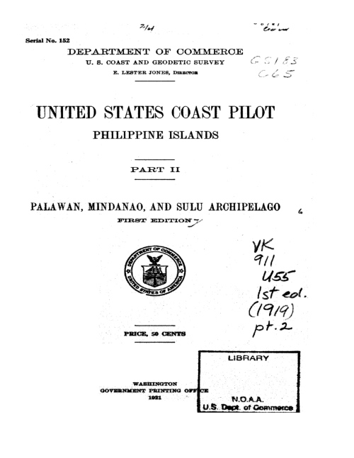
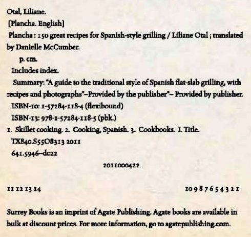
Optical Character Recognition (OCR) allows scanners to convert an image into text. It’s the difference between this image:
and this text:
Otal, Liliane.
[Plancha. English]
Plancha: 50 great recipes for Spanish-style grilling / Liliane Otal; translated by Danielle McCumber.
etcetera.
The image only contains visual information. It’s an image of the copyright page. The text, on the other hand, can be copied into Microsoft Word and in this case, describe Palawan as it was 90 years ago.
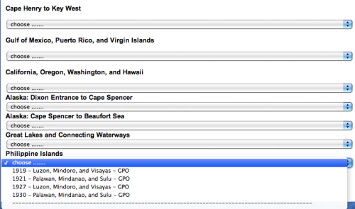
Google through its Google Books project made it possible. After they scanned and OCR-ed it, they made the text content available and searchable on the internet. They also organized and paid for the entire project. Cool, huh?
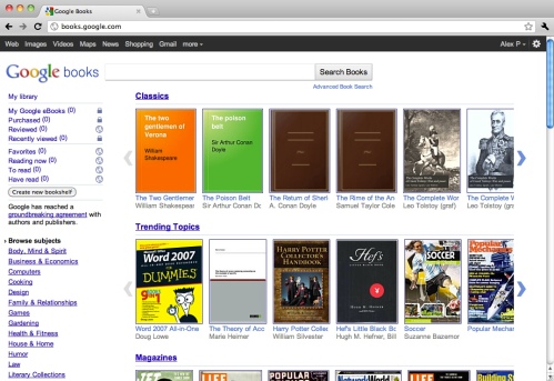
Google Books sells digitized copies of books and also makes classics like War & Peace free and available.
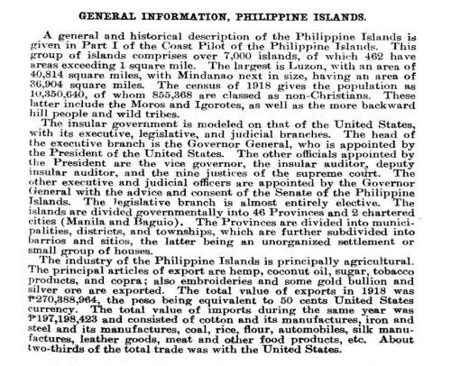
The following was excerpted from the file that contained the OCR text:
Full text of “United States coast pilot, Philippine Islands ..”
This is a digital copy of a book that was preserved for generations on library shelves before it was carefully scanned by Google as part of a project to make the world’s books discoverable online.
It has survived long enough for the copyright to expire and the book to enter the public domain. A public domain book is one that was never subject to copyright or whose legal copyright term has expired. Whether a book is in the public domain may vary country to country. Public domain books are our gateways to the past, representing a wealth of history, culture and knowledge that’s often difficult to discover.
Marks, notations and other marginalia present in the original volume will appear in this file — a reminder of this book’s long journey from the publisher to a library and finally to you.
About Google Book Search
Google’s mission is to organize the world’s information and to make it universally accessible and useful. Google Book Search helps readers discover the world’s books while helping authors and publishers reach new audiences. You can search through the full text of this book on the web at http : //books . google . com/
And then there’s the technology of early 20th century bureaucrats. They “described in geographic order the ports and coastal landmarks that a seafarer could expect to encounter along a given shore.” Since the Philippines was a possession, the U.S. government included it in its regular surveys. The product was called the U.S. Coast Pilot.
The only colony
The Philippines was a colony of the United States from 1901 to 1946. It was the only colony of America. Fortunately for Filipinos, the era of maintaining colonies as the mark of any powerful state was ending by the early 20th century. European powers were liberating their colonies and launching them as newly independent states.
When I lived in the States, it took me awhile to learn not to laugh when Americans, ex-military or older, called it P.I. The colonial name of the Philippines was Philippine Islands.
Description of Puerto Princesa in 1921
Puerto Princesa is a large inlet extending about 7 miles in a northwesterly direction. It is surrounded by a densely wooded plain, fronting a high mountain chain on which Mount Beaufort and Thumb Peak are conspicuous peaks. The latter, when seen from the southeast, appears as a steep conical mountain with a knob on the summit. Both peaks are prominent landmarks, but are frequently obscured by clouds. Table Head, though only 545 feet high, is a useful landmark for making Puerto Princesa. It is readily recognized, as it is only about 400 yards from the coast and is the lowest step of a gradually ascending range of hills extending to the southwest.
What’s Table Head today? Please leave a comment if you know.
The entrance to Puerto Princesa lies between Bancaobancaon Point northward and Panagtaran Point 2 miles southward. Reefs and shoal water extending out from the entrance points contract the navigable channel to a width of about 1 mile. The range, Tidepole Point on Thumb Peak, leads clear of the reef on the north side of the entrance and Tidepole Point on Mount Beaufort clears the shoal water on the south side. The depth in the entrance is 34 fathoms, deepening to over 100 fathoms 1 mile outside.
Bancaobancaon Point, the northern entrance point, is low and fringed with mangroves, and a thin fringe of mangroves extends almost to Tidepole Point. The latter point is made conspicuous by the white lighthouse; the point itself is a reddish cliff only about 20 feet high. A fixed red light, visible 9 miles, is exhibited, 43 feet above high water, from an iron frame on the south side of the lighthouse.
I blogged about the lighthouse in Bancao-Bancao (“Bancaobancaon Point”) here and the beaches of Bancao-Bancao here.
Princesa Point, 38 feet high, is made conspicuous by the government buildings back of it. A wooden wharf with concrete approach extends in a northwest direction. It has a depth of 18 feet alongside and deepens to 30 feet 5 yards off the face of the wharf. Gedeon Shoal marked by a black buoy, lies 650 yards west of the wharf.
Extensive mud flats and numerous coral reefs fill the head of Puerto Princesa. An important shoal, with a least depth of 1-1/2 fathoms, lies 1,300 yards 312° from the end of the wharf. North of a line passing through this shoal and Iwahig River entrance the bottom is foul. A number of rivers empty through the mangroves into the head of the bay. The islands shown on the chart are little more than clumps of mangrove and are scarcely distinguishable from the shore near which they lie.
The Iwahig River entrance is marked by a red light and distinctive beacons which must be left to port on entering. They are maintained by the Iwahig Penal Colony, which is situated about 4 miles up the river, where there is a concrete boat landing. A depth of 6 feet at half tide can be carried into the river. The channel, which has been cleared by blasting, lies south of River Island and, after passing the beacons, launches should head for the fishing dock on that island. The river is subject to freshets and consequent changes in the channel which passes to southward of the small island about 3-1/2 miles from the entrance.
The Iwahig Prison and Penal Farm was originally set up in 1902 by the United States to house Philippine prisoners who had fought against the American colonization of the Philippines. Today, situated on the lush island of Palawan, only 30 minutes by road from Puerto Princesa City, Iwahig is unique among penal institutions. Despite the fact that most of the 2,300 inmates have been convicted of homicide, the majority are minimum security prisoners and are thus not locked up within the colony. Instead, these minimum security inmates live in dormitories and work on one of the many agricultural projects located within the prison farm. Prisoners who are deemed to be at risk of escaping are confined to medium or maximum security areas, where they are monitored, but these prisoners comprise less than fifty percent of the Iwahig population.
Iwahig lies on the north side and about 150 yards back from the river, with which it is connected by a canal. It has a population of about 1,200. The colony has a sawmill, ice plant, and machine shop, where minor repairs may be made, and meat, rice, and vegetables may be obtained in case of emergency.
More to follow!

